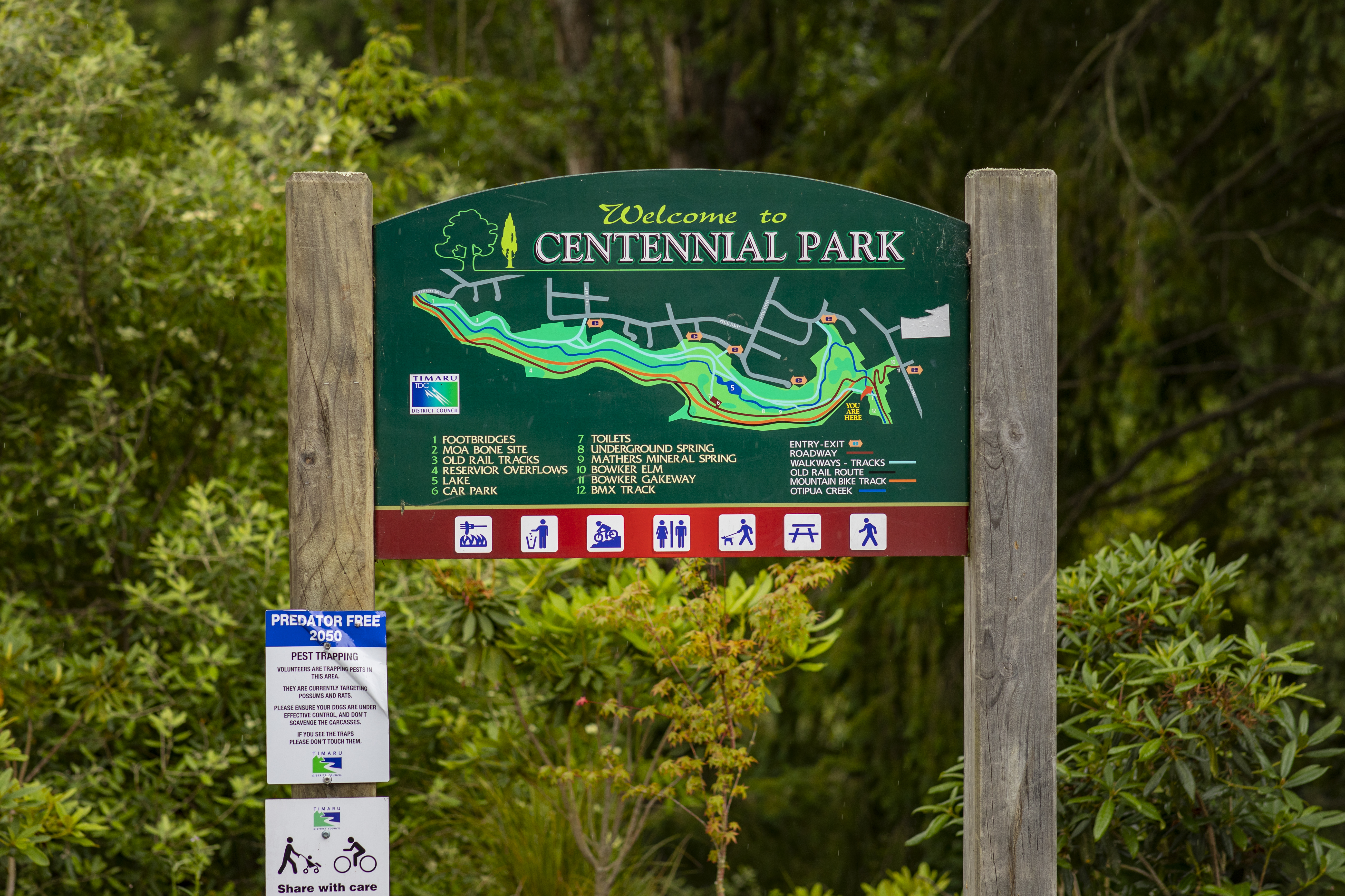
Centennial Park
Trail Features


Trail Information
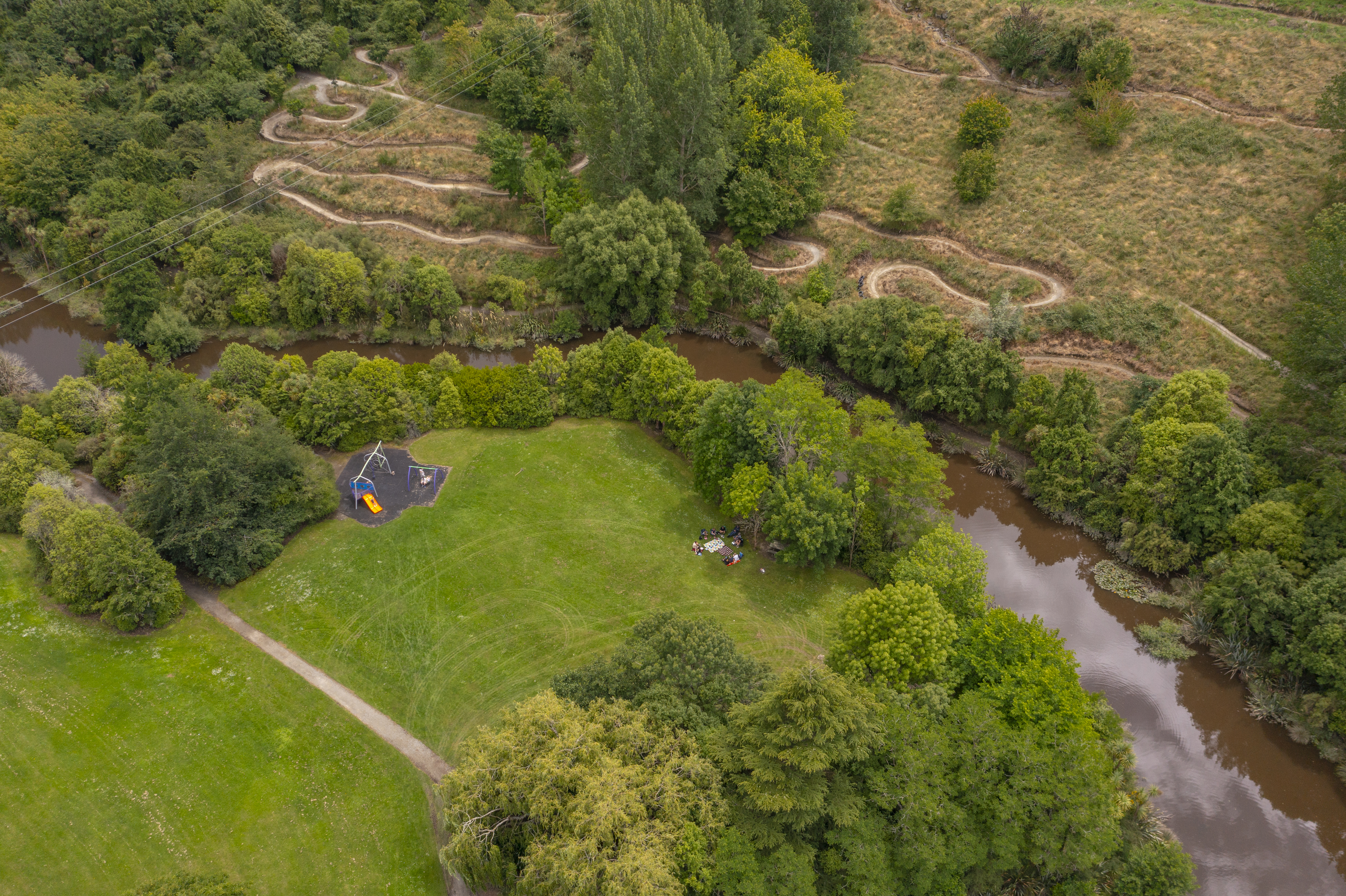
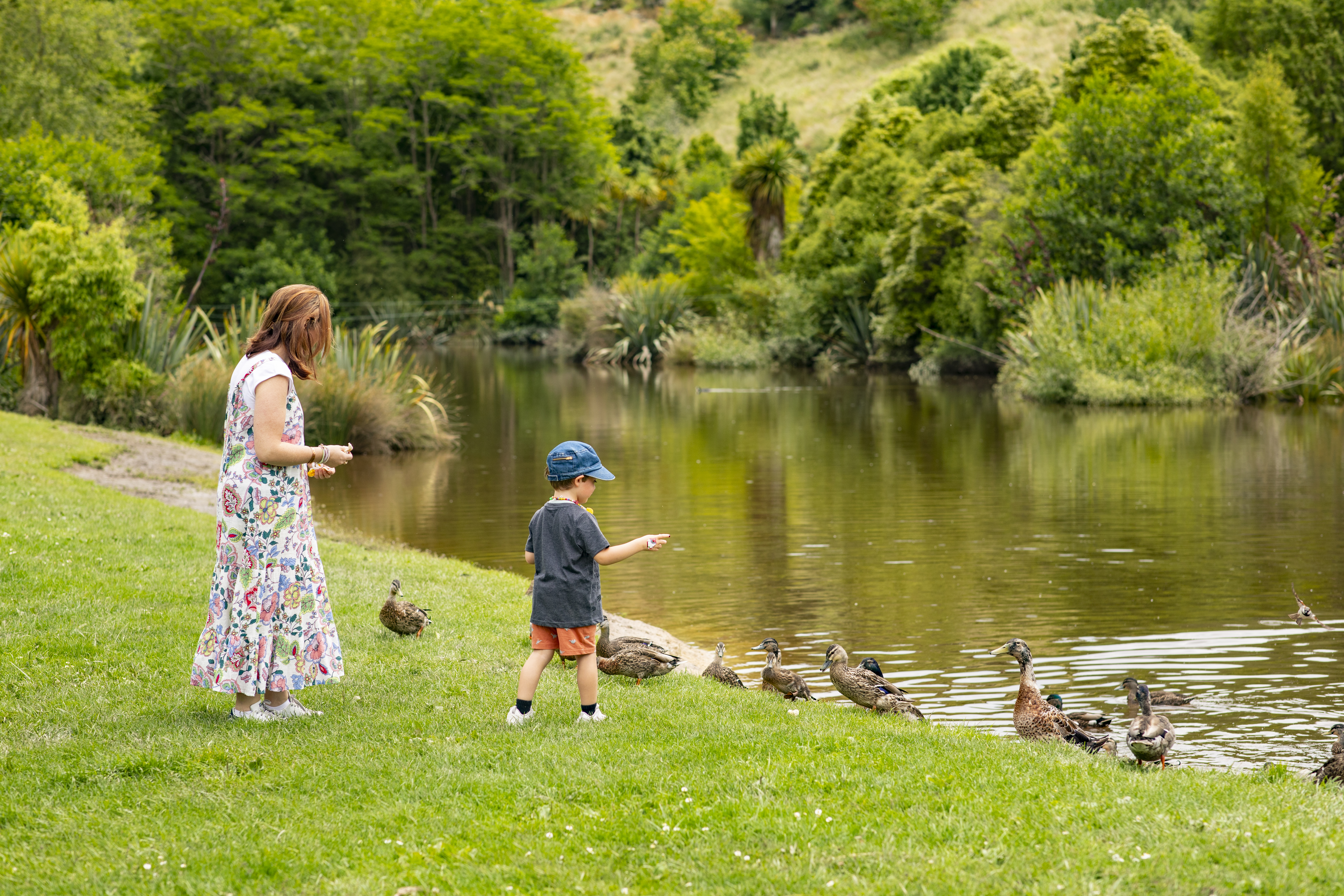
Centennial Park spans 65 hectares at the edge of the Timaru City limits. In the heart of the park, you'll find the Centennial Park Lake recreation area. It has ample parking for cars, an expansive sheltered picnic area, BBQs, children's playgrounds and toilet facilities. It's also the starting point for an orienteering course. At one end of the park is a BMX track and a Mountain Bike (MTB) skills track. At the other end is a pump track which is a great activity for all ages.
Spanning around the park, there is a fantastic range of shared path trails for walkers, runners, bikers and amblers, which are wheelchair accessible. Separate mountain bike tracks are graded showing the level.
Suggested routes
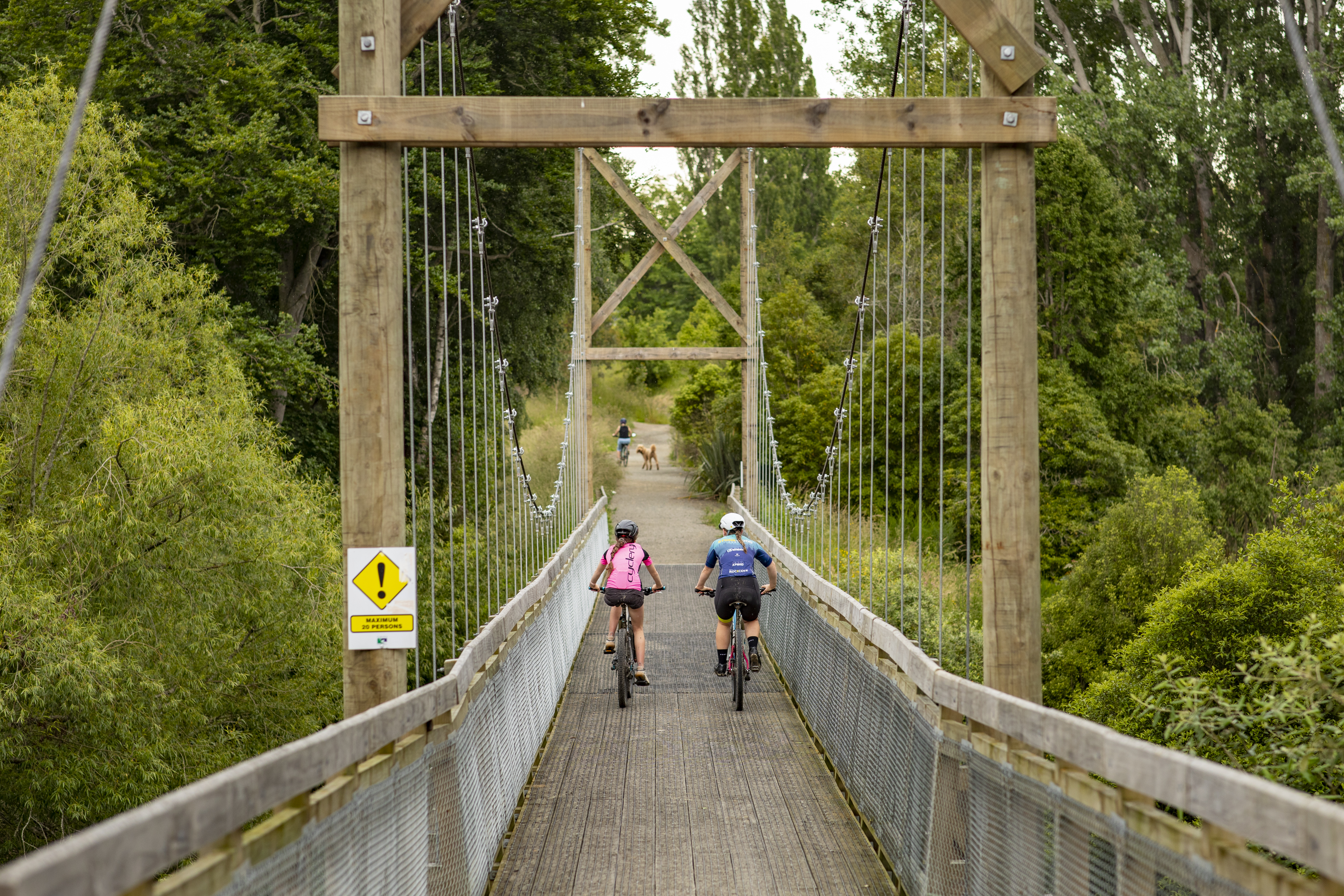
Start at the bridge with the boulder in front of it at the bottom of the zigzag from Otipua Road. Cross the bridge and follow the track on the left side of the road. Cross to the other side of the road and follow the track over a wooden bridge The track goes along the north side of the creek and lake in the direction of Claremont Road.
When you reach the lake there is a choice of upper or lower track. The upper track is a steeper and more rugged climb but easily manageable. If you want to exit onto Barnes Street, Matai or Miro Street you should take this one. The lower track gives a choice of crossing the bridge or climbing a short incline to rejoin the upper track.
For a shorter walk, when you reach the lake, cross to the other side of it and take the road back to the starting point.
When you reach the Claremont Road end, there are several choices for your return. The easiest route is to follow the road back. There is a mountain bike track off the road on the left which gives more variety. Alternatively, take the track up to the right of the road from the top of the hill above the lake.
Historical features
Once past the lake, the track follows the old railway line once used to transport basalt rock (Bluestone) from quarries to the harbour for the construction of breakwaters. Over two million years ago molten lava flowed to the sea from an earth fault 13kms away and in places baked the surrounding earth. Some examples can be seen from the track as it skirts a rocky bluff. Moa bones baked beneath 14m of solidified lava were discovered in 1889.
Trail Gallery
Last updated: 23 Jan 2026